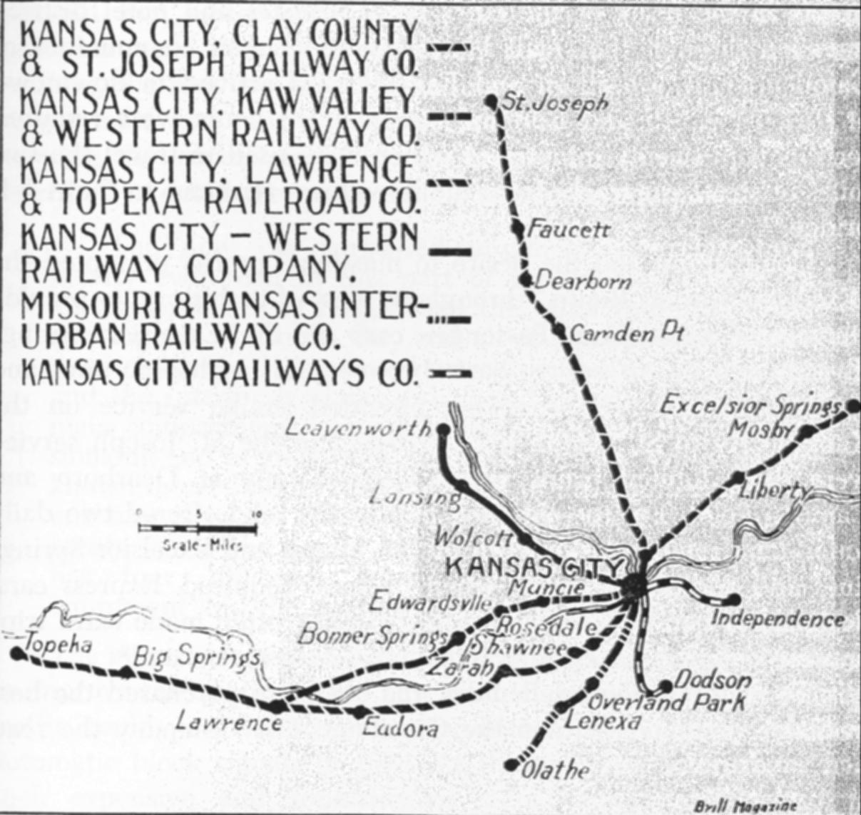
 We have maps from the early 19th century through now including atlases, plat books, etc.
From sources such as: Sanborn, USGS, Thomas Sullivan, Frederick Gwinner, George Ogle, Gallup, etc.
They cover Clay County and features found therein.
 We have maps from the early 19th century through now including atlases, plat books, etc.
From sources such as: Sanborn, USGS, Thomas Sullivan, Frederick Gwinner, George Ogle, Gallup, etc.
They cover Clay County and features found therein.